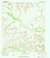
1970 Map of Rankin SE
USGS Topo · Published 1973About this map
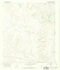
Noelke Creek serves as the primary drainage through this corner of West Texas, where the 1970 landscape is defined by the infrastructure of ranching and early petroleum exploration. The map detail highlights an extensive network of family-named water sources and landmarks, such as Santa Rosa Windmill, Schlinke Windmill, and the Noelke Ranch. The geography is characterized by numerous catchment basins, including Government Tank, Pool Tank, and Lost Tank, which were essential for managing livestock in this arid environment.
Find a feature on this map
25 named features on this map. Tap any name to fly to it.
Don’t see what you’re looking for? This feature index may not catch every label — zoom into the map to look around manually.
Map Details
Editions of this 1970 Rankin SE Map
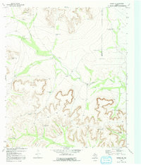
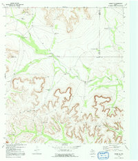
Other maps of this area

1928 · Rankin
USGS Topo · 1:125,000

1929 · Sheffield
USGS Topo · 1:125,000

1954 · Sonora
USGS Topo · 1:250,000

1954 · San Angelo
USGS Topo · 1:250,000

1958 · Sonora
USGS Topo · 1:250,000

1958 · San Angelo
USGS Topo · 1:250,000

1965 · San Angelo
USGS Topo · 1:250,000

1967 · Twelvemile Camp
USGS Topo · 1:24,000
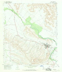
1967 · Iraan
USGS Topo · 1:24,000
1967 · Owens Creek NW
USGS Topo · 1:24,000