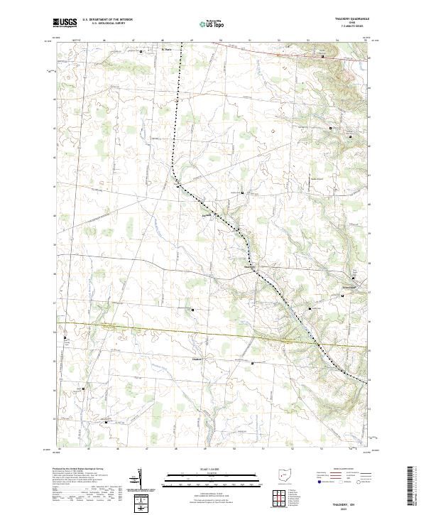
2023 Map of Thackery
USGS Topo · Published 2023About this map
St. Paris and the rural villages of Thackery and Terre Haute anchor this landscape along the border of Champaign and Clark Counties. The terrain is defined by the drainage networks of Chapman Creek, Deer Creek, and the East Fork Donnels Creek, which carve through the agricultural heartland. This area maintains a high density of early pioneer and family burial sites, offering significant value for genealogists tracing local lineage. Notable locations include the Newsom Chapel Cem and the Helvie Family Cem, alongside established community hubs like Dialton and Darnell. The transport network relies on historic thoroughfares such as the Old Troy Pike and Ballentine Pike, which connect the scattered farmsteads and rural churches that have characterized this portion of western Ohio for generations.
Find a feature on this map
79 named features on this map. Tap any name to fly to it.
Don’t see what you’re looking for? This feature index may not catch every label — zoom into the map to look around manually.
Map Details
Editions of this 2023 Thackery Map
This is the sole edition of this map. No revisions or reprints were ever made.
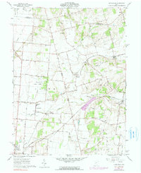
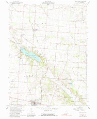
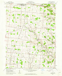
Historical Maps of Darnell Through Time
12 maps found
1961 Kingscreek
Champaign County, OH

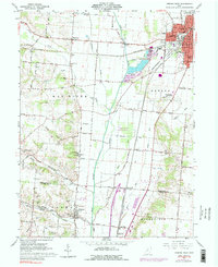
1961 Northville
Champaign County, OH
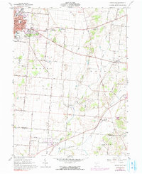
1961 Saint Paris
Champaign County, OH
1961 Thackery
Champaign County, OH
1961 Urbana East
Champaign County, OH
1961 Urbana West
Champaign County, OH
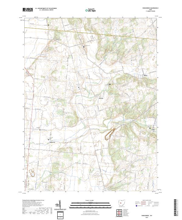
2023 Kingscreek
Champaign County, OH
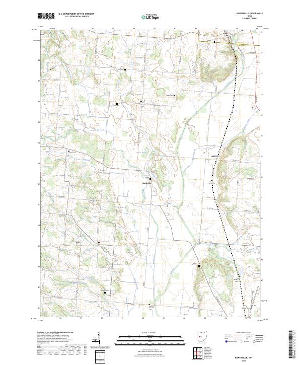
2023 Northville
Champaign County, OH
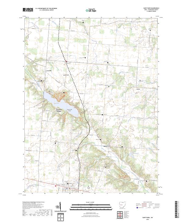
2023 Saint Paris
Champaign County, OH
2023 Thackery
Champaign County, OH
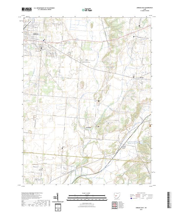
2023 Urbana East
Champaign County, OH
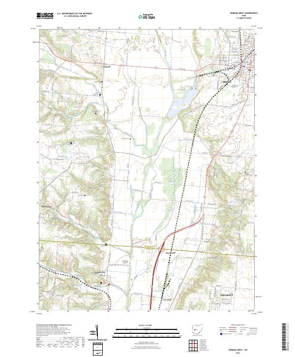
2023 Urbana West
Champaign County, OH