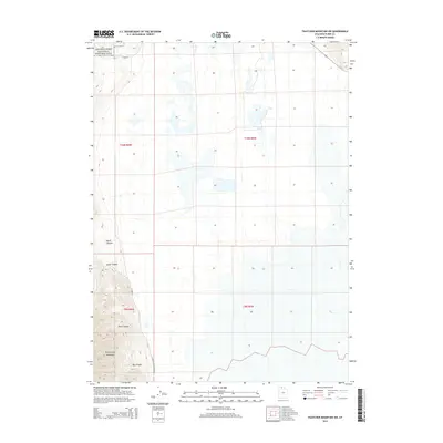
2014 Map of Thatcher Mountain SW
USGS Topo · Published 2014About this map
The Golden Spike National Historic Site anchors the northwestern corner of this 2014 survey, marking the commemorative grounds where the first transcontinental railroad was completed. The landscape is defined by the steep elevation changes of the Promontory Mountains, where deeply incised drainages like Big Canyon, Davis Canyon, North Canyon, and South Canyon cut through the rugged terrain. These geological features provide a stark contrast to the flatter basins to the east, where Blue Cr flows through the lowlands.
Find a feature on this map
14 named features on this map. Tap any name to fly to it.
Don’t see what you’re looking for? This feature index may not catch every label — zoom into the map to look around manually.
Map Details
Editions of this 2014 Thatcher Mountain SW Map
This is the sole edition of this map. No revisions or reprints were ever made.
Other maps of this area

1954 · Public Shooting Grounds
USGS Topo · 1:24,000

1954 · Brigham City
USGS Topo · 1:250,000

1955 · Mouth of Bear River
USGS Topo · 1:24,000

1958 · Brigham City
USGS Topo · 1:250,000

1961 · Thatcher Mountain
USGS Topo · 1:62,500

1962 · Brigham City
USGS Topo · 1:250,000

1966 · Thatcher Mountain SW
USGS Topo · 1:24,000

1967 · Golden Spike Monument
USGS Topo · 1:24,000

1967 · East Promontory
USGS Topo · 1:24,000

1968 · Messix Peak
USGS Topo · 1:24,000