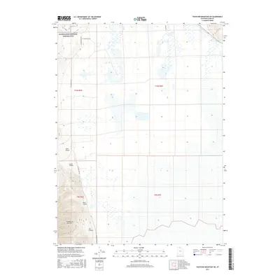
2017 Map of Thatcher Mountain SW
USGS Topo · Published 2017About this map
Golden Spike National Historic Site occupies the northwestern corner of this territory, marking the monumental junction of the first transcontinental railroad in the high desert of Box Elder County. The landscape is defined by the sharp transition from the level basins and wetlands fed by Blue Creek to the steep eastern slopes of the Promontory Mountains. Rugged drainages including North Canyon, South Canyon, Davis Canyon, and Big Canyon carve into the range, illustrating the complex topography that early railroad engineers had to navigate. The network of rural routes like N E Promontory Rd and 6400 N Rd tracks the edges of the salt flats and mountain foothills, providing a clear view of the area's modern land management and historical importance to western expansion.
Find a feature on this map
16 named features on this map. Tap any name to fly to it.
Don’t see what you’re looking for? This feature index may not catch every label — zoom into the map to look around manually.
Map Details
Editions of this 2017 Thatcher Mountain SW Map
This is the sole edition of this map. No revisions or reprints were ever made.
Other maps of this area

1954 · Public Shooting Grounds
USGS Topo · 1:24,000

1954 · Brigham City
USGS Topo · 1:250,000

1955 · Mouth of Bear River
USGS Topo · 1:24,000

1958 · Brigham City
USGS Topo · 1:250,000

1961 · Thatcher Mountain
USGS Topo · 1:62,500

1962 · Brigham City
USGS Topo · 1:250,000

1966 · Thatcher Mountain SW
USGS Topo · 1:24,000

1967 · Golden Spike Monument
USGS Topo · 1:24,000

1967 · East Promontory
USGS Topo · 1:24,000

1968 · Messix Peak
USGS Topo · 1:24,000