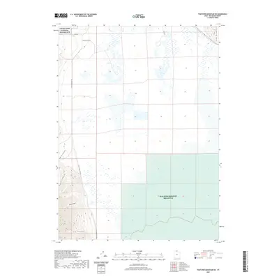
2020 Map of Thatcher Mountain SW
USGS Topo · Published 2020About this map
The Golden Spike National Historic Site occupies the northwestern corner of this landscape, marking the historic meeting of the transcontinental railroads. The terrain transitions from the eastern slopes of the Promontory Mountains, defined by deep drainage systems like North Canyon, South Canyon, and Big Canyon, into the wetlands of the Great Salt Lake basin.
Find a feature on this map
13 named features on this map. Tap any name to fly to it.
Don’t see what you’re looking for? This feature index may not catch every label — zoom into the map to look around manually.
Map Details
Editions of this 2020 Thatcher Mountain SW Map
This is the sole edition of this map. No revisions or reprints were ever made.
Other maps of this area
1954 · Public Shooting Grounds
USGS Topo · 1:24,000

1954 · Brigham City
USGS Topo · 1:250,000
1955 · Mouth of Bear River
USGS Topo · 1:24,000

1958 · Brigham City
USGS Topo · 1:250,000
1961 · Thatcher Mountain
USGS Topo · 1:62,500

1962 · Brigham City
USGS Topo · 1:250,000
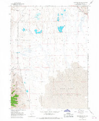
1966 · Thatcher Mountain SW
USGS Topo · 1:24,000
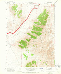
1967 · Golden Spike Monument
USGS Topo · 1:24,000
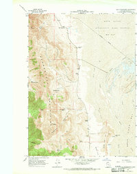
1967 · East Promontory
USGS Topo · 1:24,000
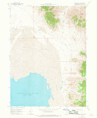
1968 · Messix Peak
USGS Topo · 1:24,000