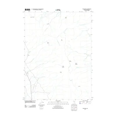
2011 Map of The Banjo
USGS Topo · Published 2011About this map
Clear Creek Ranch and The Orchard anchor the western edge of this remote Nevada landscape, where water dictates the pattern of human settlement. The drainage network is well-defined, featuring Cottonwood Creek, Rock Creek, and Clear Creek, which flow through various meadows such as Skull Meadow and Granite Creek Meadow. Named points like The Homestead suggest earlier agricultural attempts in this high-desert terrain, while the prominence of Granite Peak and Wagon Tire Pass marks the high-altitude topography. The map also identifies specific water management points, including Heward Reservoir, Summit Spring, and the uniquely named feature The Tank, reflecting the importance of every water source in this part of Washoe County.
Find a feature on this map
23 named features on this map. Tap any name to fly to it.
Don’t see what you’re looking for? This feature index may not catch every label — zoom into the map to look around manually.
Map Details
Editions of this 2011 The Banjo Map
This is the sole edition of this map. No revisions or reprints were ever made.
Other maps of this area

1886 · Granite Range
USGS Topo · 1:250,000

1894 · Granite Range
USGS Topo · 1:250,000

1955 · Lovelock
USGS Topo · 1:250,000

1959 · Lovelock
USGS Topo · 1:250,000

1964 · Gerlach
USGS Topo · 1:62,500

1980 · Melody Mountain
USGS Topo · 1:24,000
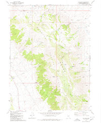
1980 · The Banjo
USGS Topo · 1:24,000
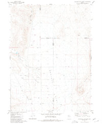
1980 · Hualapai Flat North
USGS Topo · 1:24,000

1980 · Wall Spring
USGS Topo · 1:24,000
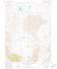
1980 · Hualapai Flat South
USGS Topo · 1:24,000