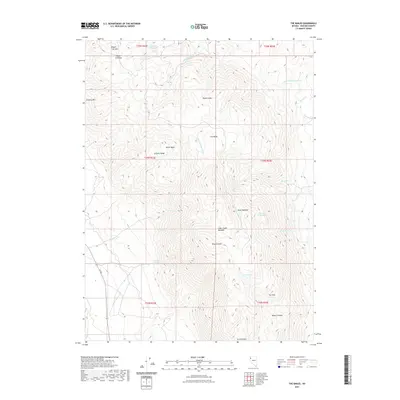
2021 Map of The Banjo
USGS Topo · Published 2021About this map
The Banjo anchors this high-elevation landscape within the Granite Range, where seasonal drainages and isolated springs define the high desert terrain of Washoe County. This 2021 survey illustrates a region shaped by complex topography, from the heights of Wagon Tire Mtn and Granite Peak down to Miller Basin and Bowen Canyon. The mapping of Garden Springs and Summit Spring highlights the critical importance of water sources in this arid environment, while the Heward Reservoir indicates human efforts to manage these limited resources. Movement through the area is restricted to the western edge along S R 447, leaving the interior basins like Skull Meadow and Clear Creek Meadow largely undisturbed. The map captures the intersection of traditional land divisions and natural landmarks, providing a clear view of the drainage patterns for Cottonwood Cr and Clear Cr before they descend from the granite heights.
Find a feature on this map
30 named features on this map. Tap any name to fly to it.
Don’t see what you’re looking for? This feature index may not catch every label — zoom into the map to look around manually.
Map Details
Editions of this 2021 The Banjo Map
This is the sole edition of this map. No revisions or reprints were ever made.
Other maps of this area

1886 · Granite Range
USGS Topo · 1:250,000

1894 · Granite Range
USGS Topo · 1:250,000

1955 · Lovelock
USGS Topo · 1:250,000

1959 · Lovelock
USGS Topo · 1:250,000

1964 · Gerlach
USGS Topo · 1:62,500

1980 · Melody Mountain
USGS Topo · 1:24,000
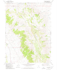
1980 · The Banjo
USGS Topo · 1:24,000
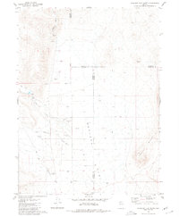
1980 · Hualapai Flat North
USGS Topo · 1:24,000

1980 · Wall Spring
USGS Topo · 1:24,000
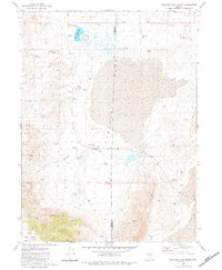
1980 · Hualapai Flat South
USGS Topo · 1:24,000