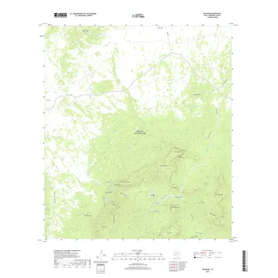
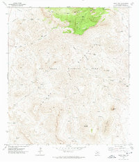
2019 Map of The Basin
USGS Topo · Published 2019About this map
Big Bend National Park dominates this terrain, centered on the high elevations of the Chisos Mountains. The map provides a detailed view of the high-desert and mountain environment, where water sources like Croton Spring, Oak Spring, and Government Spring were essential for survival and settlement in this arid corner of Brewster County. The topography is defined by dramatic rises such as Casa Grande Peak, Pulliam Peak, and Crown Mtn, with narrow drainage routes like Green Gulch and Oak Canyon cutting through the landscape.
Find a feature on this map
47 named features on this map. Tap any name to fly to it.
Don’t see what you’re looking for? This feature index may not catch every label — zoom into the map to look around manually.
Map Details
Editions of this 2019 The Basin Map
This is the sole edition of this map. No revisions or reprints were ever made.
Other maps of this area

1903 · Chisos Mountains
USGS Topo · 1:125,000

1905 · Chisos Mountains
USGS Topo · 1:125,000

1959 · Emory Peak
USGS Topo · 1:250,000

1965 · Emory Peak
USGS Topo · 1:250,000

1971 · Glenn Spring
USGS Topo · 1:24,000

1971 · Cerro Castellan
USGS Topo · 1:24,000
1971 · Grapevine Hills
USGS Topo · 1:24,000
1971 · Christmas Mountians
USGS Topo · 1:24,000
1971 · Tule Mountain
USGS Topo · 1:24,000
1971 · Emory Peak
USGS Topo · 1:24,000