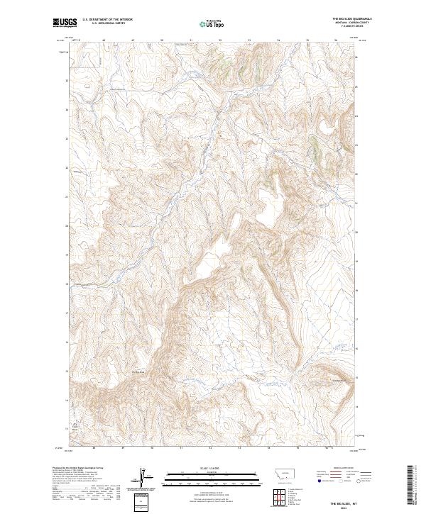
2024 Map of The Big Slide
USGS Topo · Published 2024About this map
The Big Slide and Gramps Bluff define the dramatic verticality of this Carbon County landscape, where the high plains break into a network of steep drainages and flat-topped ridges. The area is defined by its water sources, from the Cherry Spring in the north to the Dry Creek Basin in the southwest. A network of rural routes, including Cow Creek Rd and Selms Rd, suggests a landscape used for ranching or resource management, with residential developments like Eagle Point Est appearing in the eastern reaches. The drainage patterns of Cherry Spring Creek and the North Fork Sand Creek show how the local topography directs the flow of water across this arid Montana terrain.
Find a feature on this map
23 named features on this map. Tap any name to fly to it.
Don’t see what you’re looking for? This feature index may not catch every label — zoom into the map to look around manually.
Map Details
Editions of this 2024 The Big Slide Map
This is the sole edition of this map. No revisions or reprints were ever made.
Other maps of this area

1932 · Red Lodge No 1
USGS Topo · 1:48,000

1944 · Red Lodge
USGS Topo · 1:62,500

1954 · Billings
USGS Topo · 1:250,000

1956 · Bridger
USGS Topo · 1:24,000

1956 · Fromberg
USGS Topo · 1:24,000

1956 · Roberts
USGS Topo · 1:24,000
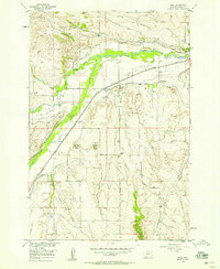
1956 · Boyd
USGS Topo · 1:24,000

1956 · The Big Slide
USGS Topo · 1:24,000
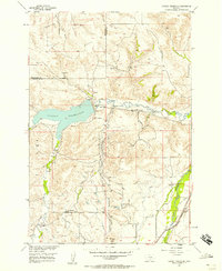
1956 · Cooney Reservoir
USGS Topo · 1:24,000

1957 · Billings
USGS Topo · 1:250,000