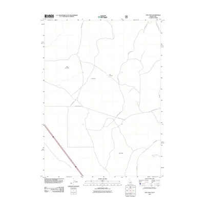
2011 Map of The Cove
USGS Topo · Published 2011About this map
The Cove and its surrounding high-desert terrain define this corner of Oneida County in the early twenty-first century. The landscape is marked by prominent topographic features such as Table Mountain and the Stone Hills, while the drainage of Dry Canyon cuts through the central portion of the quadrangle. This 2011 survey illustrates the remote road network of the Idaho-Utah borderlands, where routes like Cow Canyon Rd and Cow Hollow Rd follow the natural contours of the canyons. The presence of specialized local tracks including Black Pine Stone Rd and W Harris Roe Rd suggests a landscape utilized for ranching and resource access, showing how contemporary infrastructure navigates the persistent natural obstacles of the Great Basin region.
Find a feature on this map
10 named features on this map. Tap any name to fly to it.
Don’t see what you’re looking for? This feature index may not catch every label — zoom into the map to look around manually.
Map Details
Editions of this 2011 The Cove Map
This is the sole edition of this map. No revisions or reprints were ever made.
Other maps of this area

1954 · Pocatello
USGS Topo · 1:250,000

1954 · Brigham City
USGS Topo · 1:250,000

1958 · Pocatello
USGS Topo · 1:250,000

1958 · Brigham City
USGS Topo · 1:250,000

1962 · Brigham City
USGS Topo · 1:250,000

1968 · Monument Peak NW
USGS Topo · 1:24,000

1968 · Snowville
USGS Topo · 1:24,000

1968 · Monument Peak NE
USGS Topo · 1:24,000

1973 · Juniper
USGS Topo · 1:24,000

1973 · The Cove
USGS Topo · 1:24,000