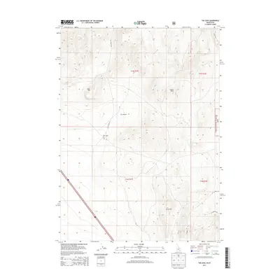
2013 Map of The Cove
USGS Topo · Published 2013About this map
Curlew National Grassland dominates the eastern edge of this high-desert Idaho landscape, where the Idaho-Utah border sits just south of the mapped area. The terrain is defined by the sharp elevations of the Sublett Range and the Stone Hills, creating a complex series of ridges and basins that converge at the topographical feature known as The Cove. This 2013 survey illustrates a region largely shaped by public land management and ranching access, evidenced by the network of corridors including Cow Canyon Rd and N Canyon Rd. Significant landmarks such as Table Mtn and the long descent of Dry Canyon reveal the drainage patterns and geographical obstacles that have historically dictated movement through Oneida County. Local road names like W Rodeo Rd and W Harris Roe Rd provide a tangible link to the area's rural heritage and local family history.
Find a feature on this map
14 named features on this map. Tap any name to fly to it.
Don’t see what you’re looking for? This feature index may not catch every label — zoom into the map to look around manually.
Map Details
Editions of this 2013 The Cove Map
This is the sole edition of this map. No revisions or reprints were ever made.
Other maps of this area

1954 · Pocatello
USGS Topo · 1:250,000

1954 · Brigham City
USGS Topo · 1:250,000

1958 · Pocatello
USGS Topo · 1:250,000

1958 · Brigham City
USGS Topo · 1:250,000

1962 · Brigham City
USGS Topo · 1:250,000

1968 · Monument Peak NW
USGS Topo · 1:24,000

1968 · Snowville
USGS Topo · 1:24,000

1968 · Monument Peak NE
USGS Topo · 1:24,000

1973 · Juniper
USGS Topo · 1:24,000

1973 · The Cove
USGS Topo · 1:24,000