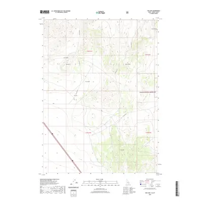
2020 Map of The Cove
USGS Topo · Published 2020About this map
The Cove serves as a central landmark in this high-altitude Oneida County landscape, where the Stone Hills rise to the south and the Sublett Range dominates the northeastern corner. This modern survey illustrates a rugged terrain defined by significant elevation changes, with Table Mtn standing as a prominent local peak. The network of canyons, including Cow Canyon, Dry Canyon, and North Canyon, dictates the movement of both water and early road paths.
Find a feature on this map
15 named features on this map. Tap any name to fly to it.
Don’t see what you’re looking for? This feature index may not catch every label — zoom into the map to look around manually.
Map Details
Editions of this 2020 The Cove Map
This is the sole edition of this map. No revisions or reprints were ever made.
Other maps of this area

1954 · Pocatello
USGS Topo · 1:250,000

1954 · Brigham City
USGS Topo · 1:250,000

1958 · Pocatello
USGS Topo · 1:250,000

1958 · Brigham City
USGS Topo · 1:250,000

1962 · Brigham City
USGS Topo · 1:250,000

1968 · Monument Peak NW
USGS Topo · 1:24,000

1968 · Snowville
USGS Topo · 1:24,000

1968 · Monument Peak NE
USGS Topo · 1:24,000

1973 · Juniper
USGS Topo · 1:24,000

1973 · The Cove
USGS Topo · 1:24,000