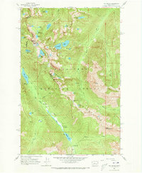
1965 Map of The Cradle
USGS Topo · Published 1973About this map
The Cradle stands as the central landmark of this high-altitude survey, where the borders of King, Chelan, and Kittitas counties converge. The landscape is defined by the high alpine hydrology of the Wenatchee Mountains, characterized by numerous glacial tarns such as Klonaqua Lakes, Robin Lakes, and the secluded Swallow Lakes. This terrain dictated a specific pattern of movement through the wilderness, relying heavily on established routes like the Cascade Crest Trail (Pack) and the challenging Paddy-Go-Easy Pass.
Find a feature on this map
46 named features on this map. Tap any name to fly to it.
Don’t see what you’re looking for? This feature index may not catch every label — zoom into the map to look around manually.
Map Details
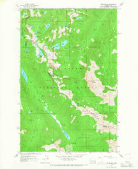
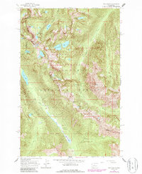
Editions of this 1965 The Cradle Map
Other maps of this area

1897 · Mount Stuart
USGS Topo · 1:125,000

1901 · Chiwaukum
USGS Topo · 1:125,000

1901 · Snoqualmie Pass
USGS Topo · 1:125,000

1902 · Skykomish
USGS Topo · 1:125,000

1902 · Mount Stuart
USGS Topo · 1:125,000

1903 · Snoqualmie
USGS Topo · 1:125,000

1904 · Chiwaukum
USGS Topo · 1:125,000

1905 · Skykomish
USGS Topo · 1:125,000

1957 · Wenatchee
USGS Topo · 1:250,000

1961 · Mount Stuart
USGS Topo · 1:62,500