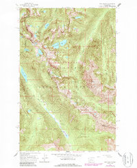
1965 Map of The Cradle
USGS Topo · Published 1987About this map
The Cradle stands as a prominent peak within the Alpine Lakes Wilderness, serving as a high-elevation landmark for the Wenatchee National Forest. This 1965 survey, updated in the 1980s, documents a high-altitude landscape defined by glacial lakes and the headwaters of the Cle Elum River. To the west, the river flows from Hyas Lake and through Tucquala Lake, where the Fish Lake Guard Station and a Campground provided infrastructure for mountain travelers. The drainage patterns shown here, from Leland Creek to French Creek, reveal the complex geography of the Wenatchee Mountains. Higher elevations are dotted with remote water bodies like the Klonaqua Lakes and Robin Lakes, clustered around the county line where Trico Mountain and Granite Mountain rise above the basin. The map illustrates a transitional period for forest management and recreation before modern trail networks became more heavily developed.
Find a feature on this map
38 named features on this map. Tap any name to fly to it.
Don’t see what you’re looking for? This feature index may not catch every label — zoom into the map to look around manually.
Map Details
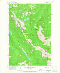
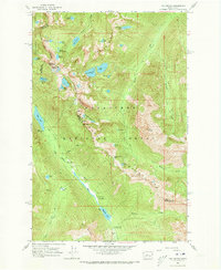
Editions of this 1965 The Cradle Map
Other maps of this area

1897 · Mount Stuart
USGS Topo · 1:125,000

1901 · Chiwaukum
USGS Topo · 1:125,000

1901 · Snoqualmie Pass
USGS Topo · 1:125,000

1902 · Skykomish
USGS Topo · 1:125,000

1902 · Mount Stuart
USGS Topo · 1:125,000

1903 · Snoqualmie
USGS Topo · 1:125,000

1904 · Chiwaukum
USGS Topo · 1:125,000

1905 · Skykomish
USGS Topo · 1:125,000

1957 · Wenatchee
USGS Topo · 1:250,000

1961 · Mount Stuart
USGS Topo · 1:62,500