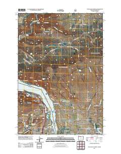
2011 Map of The Dalles North
USGS Topo · Published 2011About this map
The Columbia River forms the central corridor of this 2011 survey, carving through the dramatic Columbia Gorge as it separates Oregon and Washington. On the southern bank, the city of The Dalles serves as a major hub, bordered by the Chenoweth settlement and industrial areas near Dallesdam. The landscape is defined by its verticality, with prominent landmarks such as Windy Point, Squally Point, and Crates Point overlooking the water.
Find a feature on this map
69 named features on this map. Tap any name to fly to it.
Don’t see what you’re looking for? This feature index may not catch every label — zoom into the map to look around manually.
Map Details
Editions of this 2011 The Dalles North Map
This is the sole edition of this map. No revisions or reprints were ever made.
Other maps of this area

1934 · The Dalles
USGS Topo · 1:125,000

1953 · The Dalles
USGS Topo · 1:250,000

1956 · The Dalles
USGS Topo · 1:250,000

1957 · The Dalles
USGS Topo · 1:250,000

1957 · Klickitat
USGS Topo · 1:62,500

1957 · The Dalles
USGS Topo · 1:62,500

1957 · White Salmon
USGS Topo · 1:62,500

1957 · Husum
USGS Topo · 1:62,500

1974 · Stacker Butte
USGS Topo · 1:24,000

1974 · The Dalles North
USGS Topo · 1:24,000