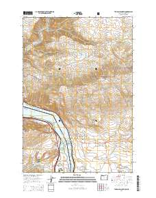
2014 Map of The Dalles North
USGS Topo · Published 2014About this map
The Columbia Gorge creates a dramatic natural border between Oregon and Washington in this 2014 survey, where The Dalles serves as a central hub. The landscape is defined by the massive Lake Bonneville reservoir behind the dam, flanked by high points like Sevenmile Hill and the Columbia Hills. To the north, the terrain transitions into the steep drainages of Klickitat River and numerous canyons such as Green Canyon and Knight Canyon. Small settlements like Dallesport, Murdock, and Smithville dot the northern shore, while the southern bank includes Chenoweth and The Dalles Country Club. Cultural markers such as Hartland Cem and Wish-Ham Cem provide grounding for family historians, while the network of roads like Centerville Hwy and US Hwy 30 illustrates the modern transport corridors following the ancient river route.
Find a feature on this map
80 named features on this map. Tap any name to fly to it.
Don’t see what you’re looking for? This feature index may not catch every label — zoom into the map to look around manually.
Map Details
Editions of this 2014 The Dalles North Map
This is the sole edition of this map. No revisions or reprints were ever made.
Other maps of this area

1934 · The Dalles
USGS Topo · 1:125,000

1953 · The Dalles
USGS Topo · 1:250,000

1956 · The Dalles
USGS Topo · 1:250,000

1957 · The Dalles
USGS Topo · 1:250,000

1957 · Klickitat
USGS Topo · 1:62,500

1957 · The Dalles
USGS Topo · 1:62,500

1957 · White Salmon
USGS Topo · 1:62,500

1957 · Husum
USGS Topo · 1:62,500

1974 · Stacker Butte
USGS Topo · 1:24,000

1974 · The Dalles North
USGS Topo · 1:24,000