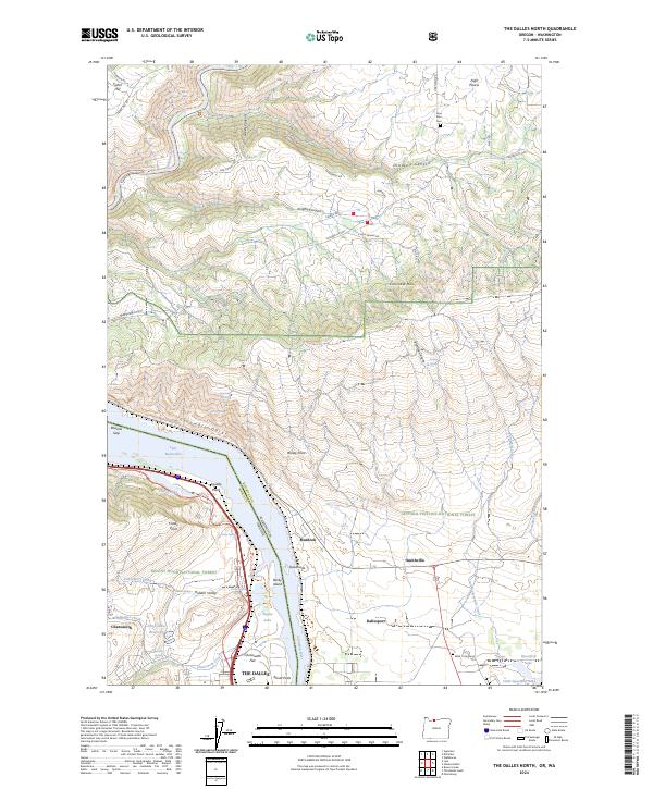
2024 Map of The Dalles North
USGS Topo · Published 2024About this map
The Columbia River cuts a deep path through the Columbia Gorge on this contemporary survey of the border between Oregon and Washington. The landscape is defined by its dramatic elevation changes, from the heights of the Columbia Hills and Fisher Hill down to the shoreline where Lake Bonneville and Taylor Lake sit near the riverbanks. Human settlement is concentrated in the southern portion of the map around The Dalles and Chenoweth, while the northern hills toward High Prairie remain more rural, crossed by long-standing routes like Centerville Hwy.
Find a feature on this map
69 named features on this map. Tap any name to fly to it.
Don’t see what you’re looking for? This feature index may not catch every label — zoom into the map to look around manually.
Map Details
Editions of this 2024 The Dalles North Map
This is the sole edition of this map. No revisions or reprints were ever made.
Other maps of this area

1934 · The Dalles
USGS Topo · 1:125,000

1953 · The Dalles
USGS Topo · 1:250,000

1956 · The Dalles
USGS Topo · 1:250,000

1957 · The Dalles
USGS Topo · 1:250,000

1957 · Klickitat
USGS Topo · 1:62,500

1957 · The Dalles
USGS Topo · 1:62,500

1957 · White Salmon
USGS Topo · 1:62,500

1957 · Husum
USGS Topo · 1:62,500

1974 · Stacker Butte
USGS Topo · 1:24,000

1974 · The Dalles North
USGS Topo · 1:24,000