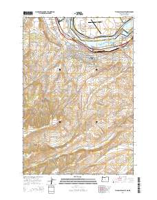
2014 Map of The Dalles South
USGS Topo · Published 2014About this map
The Dalles serves as a critical junction where the Columbia River separates Oregon from Washington, dominated by the massive infrastructure of The Dalles Dam and the The Dalles Bridge. The city's residential and institutional growth is evident through the presence of the Columbia Gorge Community College and several historic burial grounds, including the Independent Order of Odd Fellows Cem and the Grand Army of the Republic Cem.
Find a feature on this map
79 named features on this map. Tap any name to fly to it.
Don’t see what you’re looking for? This feature index may not catch every label — zoom into the map to look around manually.
Map Details
Editions of this 2014 The Dalles South Map
This is the sole edition of this map. No revisions or reprints were ever made.
Other maps of this area

1930 · Dufur
USGS Topo · 1:125,000

1934 · Dufur
USGS Topo · 1:125,000

1934 · The Dalles
USGS Topo · 1:125,000

1953 · The Dalles
USGS Topo · 1:250,000

1956 · The Dalles
USGS Topo · 1:250,000

1957 · The Dalles
USGS Topo · 1:250,000

1957 · The Dalles
USGS Topo · 1:62,500

1957 · White Salmon
USGS Topo · 1:62,500

1962 · Wolf Run
USGS Topo · 1:24,000

1962 · Dufur East
USGS Topo · 1:24,000