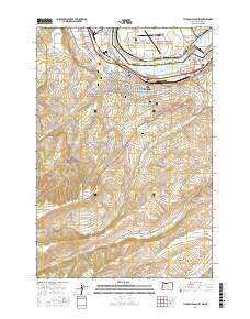
2017 Map of The Dalles South
USGS Topo · Published 2017About this map
The Dalles sits at a geographic and historic crossroads where the Columbia River separates Oregon from Washington. This 2017 survey details the urban expansion into the surrounding hills, reaching toward Chenoweth and the orchards of Cherry Heights. For genealogists and local historians, the map is remarkably dense with funerary sites, including the Saint Peter's Cem, the Independent Order of Odd Fellows Cem, and the Grand Army of the Republic Cem, all clustered near the city core. Beyond the residential grid, the landscape transitions into the steep drainages of Threemile Cr and Fivemile Cr. Distinctive local landmarks such as Pulpit Rock and the long ridge of The Hogback dominate the terrain south of town, while the proximity of the Mount Hood National Forest and Gifford Pinchot National Forest highlights the region's protected timberlands.
Find a feature on this map
75 named features on this map. Tap any name to fly to it.
Don’t see what you’re looking for? This feature index may not catch every label — zoom into the map to look around manually.
Map Details
Editions of this 2017 The Dalles South Map
This is the sole edition of this map. No revisions or reprints were ever made.
Other maps of this area

1930 · Dufur
USGS Topo · 1:125,000

1934 · Dufur
USGS Topo · 1:125,000

1934 · The Dalles
USGS Topo · 1:125,000

1953 · The Dalles
USGS Topo · 1:250,000

1956 · The Dalles
USGS Topo · 1:250,000

1957 · The Dalles
USGS Topo · 1:250,000

1957 · The Dalles
USGS Topo · 1:62,500

1957 · White Salmon
USGS Topo · 1:62,500

1962 · Wolf Run
USGS Topo · 1:24,000

1962 · Dufur East
USGS Topo · 1:24,000