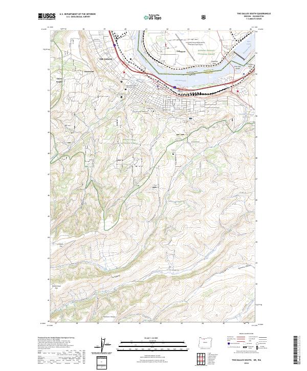
2024 Map of The Dalles South
USGS Topo · Published 2024About this map
The Dalles serves as the focal point of this map, situated where the Columbia River transitions between Lake Bonneville and Lake Celilo. The area is densely packed with historical markers, particularly its collection of cemeteries including the Saint Peter's Cem, Independent Order of Odd Fellows Cem, and the Grand Army of the Republic Cem. The proximity of these sites to the Wasco County Courthouse and Columbia Gorge Community College reflects the long-standing civic and social importance of this river crossing.
Find a feature on this map
49 named features on this map. Tap any name to fly to it.
Don’t see what you’re looking for? This feature index may not catch every label — zoom into the map to look around manually.
Map Details
Editions of this 2024 The Dalles South Map
This is the sole edition of this map. No revisions or reprints were ever made.
Other maps of this area

1930 · Dufur
USGS Topo · 1:125,000

1934 · Dufur
USGS Topo · 1:125,000

1934 · The Dalles
USGS Topo · 1:125,000

1953 · The Dalles
USGS Topo · 1:250,000

1956 · The Dalles
USGS Topo · 1:250,000

1957 · The Dalles
USGS Topo · 1:250,000

1957 · The Dalles
USGS Topo · 1:62,500

1957 · White Salmon
USGS Topo · 1:62,500

1962 · Wolf Run
USGS Topo · 1:24,000

1962 · Dufur East
USGS Topo · 1:24,000