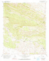
1961 Map of The Dark Hole
USGS Topo · Published 1990About this map
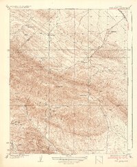
The Dark Hole lies at the geographic center of this rugged landscape, where the high ridges of Black Mountain and Castle Mountain overlook a complex network of canyons and family-named homesteads. The terrain reflects the remote ranching and prospecting life of the early 1960s, evidenced by a scattering of isolated structures like Moore Cabin, York Cabin, and the Riley Cabin (Ruins). The convergence of Fresno, Monterey, and Kings counties occurs in this high country, marked by clear boundary lines that cut through Table Mountain and Turkey Flat. Industrial activity is concentrated on the southern slopes, where the Kings Mine and White Mine sit near an Airstrip, indicating the extraction efforts of the era. Seasonal water sources like Sugar Tail Spring and Vaquero Spring provided critical resources for the Taylor Ranch in a region defined by steep relief and dry creek beds.
Find a feature on this map
34 named features on this map. Tap any name to fly to it.
Don’t see what you’re looking for? This feature index may not catch every label — zoom into the map to look around manually.
Map Details
Editions of this 1961 The Dark Hole Map
4 editions found
Other maps of this area

1912 · Coalinga
USGS Topo · 1:125,000

1914 · Cholame
USGS Topo · 1:125,000

1915 · Cholame
USGS Topo · 1:125,000

1917 · Cholame
USGS Topo · 1:125,000

1930 · Canoas Creek
USGS Topo · 1:31,680

1934 · The Dark Hole
USGS Topo · 1:31,680

1934 · Reef Ridge
USGS Topo · 1:31,680

1934 · Canoas Creek
USGS Topo · 1:31,680

1936 · Kreyenhagen Hills
USGS Topo · 1:31,680
1937 · Reef Ridge
USGS Topo · 1:31,680