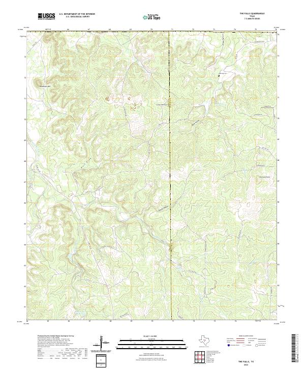
2022 Map of The Falls
USGS Topo · Published 2022About this map
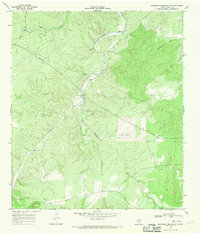
The rugged divide between Kimble and Gillespie counties is defined by a complex network of draws and springs. The landscape centers on the namesake The Falls, where Falls Prong descends toward the headwaters of the Little Devils River. This area is characterized by a mix of ranching roads and water management features, including the White Oak Cr Reservoir and various family-named landmarks such as Anderegg Cem.
Find a feature on this map
42 named features on this map. Tap any name to fly to it.
Don’t see what you’re looking for? This feature index may not catch every label — zoom into the map to look around manually.
Map Details
Editions of this 2022 The Falls Map
This is the sole edition of this map. No revisions or reprints were ever made.
Other maps of this area

1887 · Mason
USGS Topo · 1:125,000

1894 · Mason
USGS Topo · 1:125,000

1894 · Kerrville
USGS Topo · 1:125,000

1954 · Llano
USGS Topo · 1:250,000

1955 · Llano
USGS Topo · 1:250,000

1956 · Llano
USGS Topo · 1:250,000
1967 · Harper East
USGS Topo · 1:24,000
1967 · Panther Creek
USGS Topo · 1:24,000
1967 · Doss
USGS Topo · 1:24,000
1967 · Monument Mountain SE
USGS Topo · 1:24,000