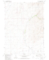
1980 Map of The Knolls
USGS Topo · Published 1980About this map
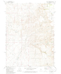
Snowstorm Mountains define the eastern edge of this high-desert landscape in northern Nevada, where the border between Humboldt and Elko counties meets. The territory is marked by the intermittent waters of Jake Creek and Kelly Creek, which flow through a terrain dominated by The Knolls. Evidence of ranching and early habitation appears at Hammond Ranch and Desmond Ranch, the latter of which is located near unidentified Ruins. The economic activity of the era is preserved in the form of multiple prospects, a Gravel Pit, and a Borrow Pit, while jeep trails provide the primary means of navigating this remote rangeland. Natural water sources like Garret Spring were critical for sustaining these isolated outposts on the edge of the Indefinite Boundary.
Find a feature on this map
17 named features on this map. Tap any name to fly to it.
Don’t see what you’re looking for? This feature index may not catch every label — zoom into the map to look around manually.
Map Details
Editions of this 1980 The Knolls Map
2 editions found
Other maps of this area

1882 · Paradise
USGS Topo · 1:250,000

1893 · Paradise
USGS Topo · 1:250,000

1955 · McDermitt
USGS Topo · 1:250,000

1959 · McDermitt
USGS Topo · 1:250,000
1965 · Jake Creek Mtn
USGS Topo · 1:24,000
1965 · Midas SW
USGS Topo · 1:24,000

1973 · Snowstorm Mtn
USGS Topo · 1:24,000

1980 · Dry Hills South
USGS Topo · 1:24,000
1980 · Kenny Creek
USGS Topo · 1:24,000
1980 · Red House Flat East
USGS Topo · 1:24,000