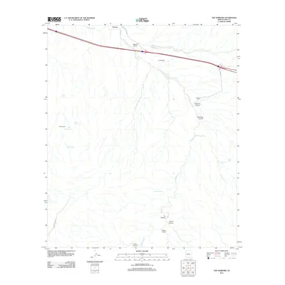
2012 Map of The Narrows
USGS Topo · Published 2012About this map
Cienega Creek winds through this Pima County landscape, shaping a corridor of high-desert drainage where cattle ranching and water sources have long dictated human presence. In the early 21st century, the area remains characterized by large-scale landholdings such as Siemond Ranch and Murphy Ranch, while the legacy of earlier settlement is marked by La Cienega and the community of Pantano near the northern boundary.
Find a feature on this map
21 named features on this map. Tap any name to fly to it.
Don’t see what you’re looking for? This feature index may not catch every label — zoom into the map to look around manually.
Map Details
Editions of this 2012 The Narrows Map
This is the sole edition of this map. No revisions or reprints were ever made.
Other maps of this area

1904 · Patagonia
USGS Topo · 1:125,000

1904 · Tucson
USGS Topo · 1:125,000

1905 · Patagonia
USGS Topo · 1:125,000

1905 · Tucson
USGS Topo · 1:125,000

1915 · Benson
USGS Topo · 1:125,000

1926 · Whetstone
USGS Topo · 1:62,500

1943 · Benson
USGS Topo · 1:125,000

1945 · Happy Valley
USGS Topo · 1:62,500

1956 · Nogales
USGS Topo · 1:250,000

1956 · Tucson
USGS Topo · 1:250,000