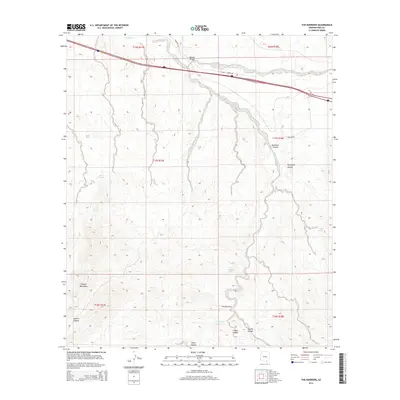
2014 Map of The Narrows
USGS Topo · Published 2014About this map
Cienega Cr winds through this arid landscape, defining a vital corridor where the Empire Mountains rise to the southwest. The geography is marked by a complex drainage system including Mescal Arroyo and numerous desert springs that historically supported ranching and transit. Notable water sources such as Mescal Spring, Bobo Spring, and the curiously named Bootlegger Spring are scattered across the terrain, indicating the importance of reliable water in this corner of Pima County.
Find a feature on this map
25 named features on this map. Tap any name to fly to it.
Don’t see what you’re looking for? This feature index may not catch every label — zoom into the map to look around manually.
Map Details
Editions of this 2014 The Narrows Map
This is the sole edition of this map. No revisions or reprints were ever made.
Other maps of this area

1904 · Patagonia
USGS Topo · 1:125,000

1904 · Tucson
USGS Topo · 1:125,000

1905 · Patagonia
USGS Topo · 1:125,000

1905 · Tucson
USGS Topo · 1:125,000

1915 · Benson
USGS Topo · 1:125,000

1926 · Whetstone
USGS Topo · 1:62,500

1943 · Benson
USGS Topo · 1:125,000

1945 · Happy Valley
USGS Topo · 1:62,500

1956 · Nogales
USGS Topo · 1:250,000

1956 · Tucson
USGS Topo · 1:250,000