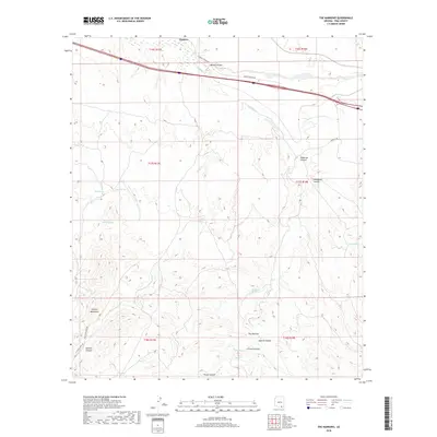
2018 Map of The Narrows
USGS Topo · Published 2018About this map
Pantano sits at the northern edge of this high-desert landscape, where the seasonal waters of Mescal Arroyo meet the drainage of Cienega Cr. The terrain is defined by the significant uplift of the Empire Mountains in the southwest, giving way to a complex system of deep cuts including Sanford Canyon and Fresno Canyon. This geography creates natural bottlenecks, most notably at the geological feature known as The Narrows.
Find a feature on this map
27 named features on this map. Tap any name to fly to it.
Don’t see what you’re looking for? This feature index may not catch every label — zoom into the map to look around manually.
Map Details
Editions of this 2018 The Narrows Map
This is the sole edition of this map. No revisions or reprints were ever made.
Other maps of this area

1904 · Patagonia
USGS Topo · 1:125,000

1904 · Tucson
USGS Topo · 1:125,000

1905 · Patagonia
USGS Topo · 1:125,000

1905 · Tucson
USGS Topo · 1:125,000

1915 · Benson
USGS Topo · 1:125,000

1926 · Whetstone
USGS Topo · 1:62,500

1943 · Benson
USGS Topo · 1:125,000

1945 · Happy Valley
USGS Topo · 1:62,500

1956 · Nogales
USGS Topo · 1:250,000

1956 · Tucson
USGS Topo · 1:250,000