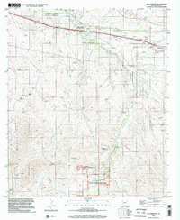
1996 Map of The Narrows
USGS Topo · Published 2002About this map
Empire Ranch anchors this landscape of conservation and historic extraction in southeastern Arizona. The map details the transition between the Empire Mountains and the drainage systems of Cienega Creek, which is protected within the Cienega Creek Natural Preserve. This era of the late 20th century shows the area as a focus for environmental management, evidenced by the inclusion of the Las Cienegas National Conservation Area.
Find a feature on this map
35 named features on this map. Tap any name to fly to it.
Don’t see what you’re looking for? This feature index may not catch every label — zoom into the map to look around manually.
Map Details
Editions of this 1996 The Narrows Map
This is the sole edition of this map. No revisions or reprints were ever made.
Other maps of this area

1904 · Patagonia
USGS Topo · 1:125,000

1904 · Tucson
USGS Topo · 1:125,000

1905 · Patagonia
USGS Topo · 1:125,000

1905 · Tucson
USGS Topo · 1:125,000

1915 · Benson
USGS Topo · 1:125,000

1926 · Whetstone
USGS Topo · 1:62,500

1943 · Benson
USGS Topo · 1:125,000

1945 · Happy Valley
USGS Topo · 1:62,500

1956 · Nogales
USGS Topo · 1:250,000

1956 · Tucson
USGS Topo · 1:250,000