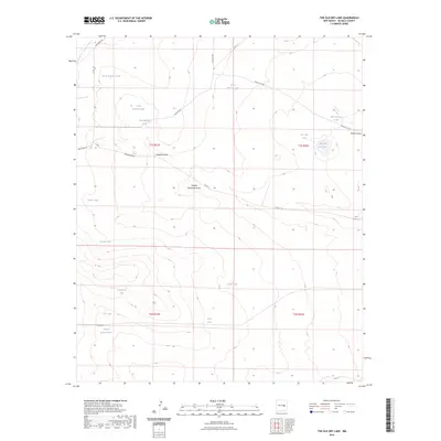
2023 Map of The Old Dry Lake
USGS Topo · Published 2023About this map
The Old Dry Lake and a complex network of livestock watering tanks define this arid stretch of De Baca County. This 2023 survey illustrates the essential infrastructure of modern ranching, where numerous named catchments like North Ragland Tank, Big Ragland Tank, and Horse Pasture Tank are strategically placed across the landscape to support cattle. The drainage patterns of Ragland Draw and Double Windmills Draw carve through the high plains, guiding seasonal runoff toward these vital water points.
Find a feature on this map
30 named features on this map. Tap any name to fly to it.
Don’t see what you’re looking for? This feature index may not catch every label — zoom into the map to look around manually.
Map Details
Editions of this 2023 The Old Dry Lake Map
This is the sole edition of this map. No revisions or reprints were ever made.
Other maps of this area

1954 · Fort Sumner
USGS Topo · 1:250,000

1958 · Fort Sumner
USGS Topo · 1:250,000

1966 · El Morro Mesa
USGS Topo · 1:24,000

1966 · Horney Ranch
USGS Topo · 1:24,000

1967 · Wire Lake
USGS Topo · 1:24,000

1967 · Dunlap NE
USGS Topo · 1:24,000

1967 · Devils Well
USGS Topo · 1:24,000
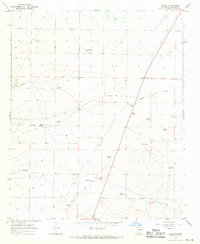
1967 · Dunlap
USGS Topo · 1:24,000
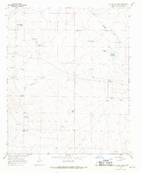
1967 · The Old Dry Lake
USGS Topo · 1:24,000

1967 · Wright Ranch
USGS Topo · 1:24,000