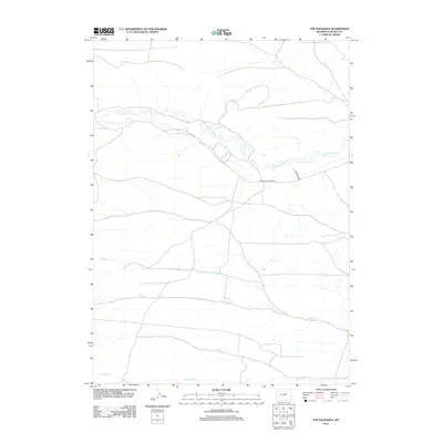
2012 Map of The Palisades
USGS Topo · Published 2012About this map
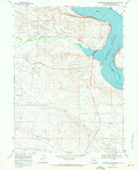
Fontenelle Cr defines the northern hydrology of this Lincoln County landscape, winding eastward through a territory shaped by high-desert drainage patterns. The map detail reflects a sparsely settled ranching or resource area in the early 21st century, where human infrastructure is limited to essential connectors like Fontenelle Creek Rd and Diamond D Rd. South of the main creek, a series of parallel watercourses including Willow Cr, Sheep Cr, and Jackson Cr flow toward the east, illustrating the consistent topographic grain of the region. This 2012 survey by the U.S. Geological Survey utilizes high-resolution imagery and hydrographic data to document the remote character of the Wyoming interior, providing a clear record of land use and water management in a high-elevation basin.
Find a feature on this map
6 named features on this map. Tap any name to fly to it.
Don’t see what you’re looking for? This feature index may not catch every label — zoom into the map to look around manually.
Map Details
Editions of this 2012 The Palisades Map
This is the sole edition of this map. No revisions or reprints were ever made.
Other maps of this area
1945 · Fort Hill
USGS Topo · 1:62,500
1947 · Fort Hill
USGS Topo · 1:62,500

1954 · Ogden
USGS Topo · 1:250,000

1955 · Preston
USGS Topo · 1:250,000

1958 · Ogden
USGS Topo · 1:250,000

1958 · Preston
USGS Topo · 1:250,000

1960 · Ogden
USGS Topo · 1:250,000

1962 · Preston
USGS Topo · 1:250,000
1968 · Names Hill
USGS Topo · 1:24,000
1968 · Fontenelle Reservoir SW
USGS Topo · 1:24,000