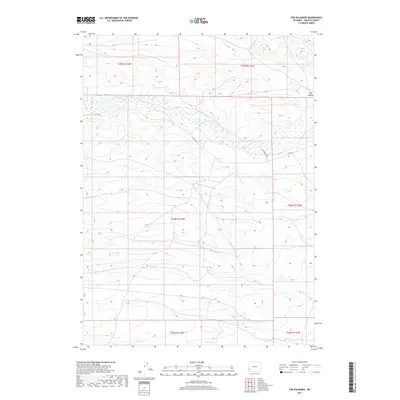
2017 Map of The Palisades
USGS Topo · Published 2017About this map
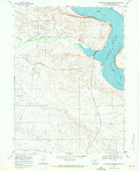
Fontenelle Cr dominates the northern landscape of this Lincoln County region, where a series of seasonal and perennial watercourses carve through the high-altitude terrain. The drainage patterns of Willow Cr, Sheep Cr, and Jackson Cr illustrate the hydrologic network that defines this part of Wyoming. These creek beds and the wide depression of Dry Hollow are the primary landmarks in an area otherwise characterized by the Public Land Survey System grids of t24n r114w and its neighbors. Human passage through this open country is marked by few roads, primarily Co RD 314 and Diamond D Rd, which follow the natural contours of the stream valleys. This documentation of the area's physical geography is essential for understanding the remote ranching or resource extraction landscape of the early twenty-first century.
Find a feature on this map
13 named features on this map. Tap any name to fly to it.
Don’t see what you’re looking for? This feature index may not catch every label — zoom into the map to look around manually.
Map Details
Editions of this 2017 The Palisades Map
This is the sole edition of this map. No revisions or reprints were ever made.
Other maps of this area
1945 · Fort Hill
USGS Topo · 1:62,500
1947 · Fort Hill
USGS Topo · 1:62,500

1954 · Ogden
USGS Topo · 1:250,000

1955 · Preston
USGS Topo · 1:250,000

1958 · Ogden
USGS Topo · 1:250,000

1958 · Preston
USGS Topo · 1:250,000

1960 · Ogden
USGS Topo · 1:250,000

1962 · Preston
USGS Topo · 1:250,000
1968 · Names Hill
USGS Topo · 1:24,000
1968 · Fontenelle Reservoir SW
USGS Topo · 1:24,000