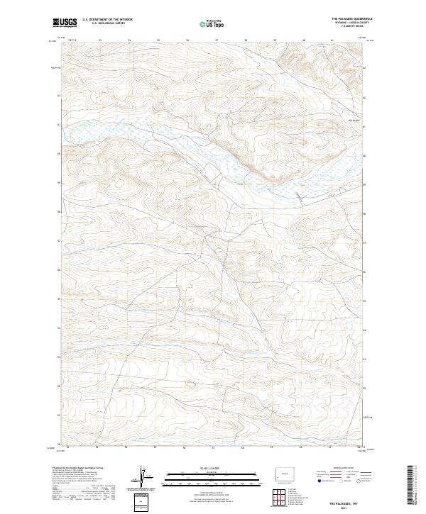
2021 Map of The Palisades
USGS Topo · Published 2021About this map
The drainage patterns of Fontenelle Cr define this section of the Wyoming landscape, where the high desert terrain transitions into the complex system of creeks that feed the Green River basin. This 2021 survey by the U.S. Geological Survey illustrates a sparse ranching and high-plateau environment dominated by watercourses like Willow Cr, Sheep Cr, and Jackson Cr. The map reveals a land structured by historical township and range surveying, with few improved roads. Aside from Co RD 314 and Diamond D Rd, much of the area remains characterized by its natural relief, including the feature known as Dry Hollow. For those studying Wyoming land use and water rights, the detailed charting of these perennial and intermittent streams offers critical insight into the hydrology of Lincoln County.
Find a feature on this map
13 named features on this map. Tap any name to fly to it.
Don’t see what you’re looking for? This feature index may not catch every label — zoom into the map to look around manually.
Map Details
Editions of this 2021 The Palisades Map
This is the sole edition of this map. No revisions or reprints were ever made.
Other maps of this area

1945 · Fort Hill
USGS Topo · 1:62,500

1947 · Fort Hill
USGS Topo · 1:62,500

1954 · Ogden
USGS Topo · 1:250,000

1955 · Preston
USGS Topo · 1:250,000

1958 · Ogden
USGS Topo · 1:250,000

1958 · Preston
USGS Topo · 1:250,000

1960 · Ogden
USGS Topo · 1:250,000

1962 · Preston
USGS Topo · 1:250,000

1968 · Names Hill
USGS Topo · 1:24,000

1968 · Fontenelle Reservoir SW
USGS Topo · 1:24,000