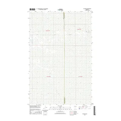
2016 Map of The Pines
USGS Topo · Published 2016About this map
The Pines sits at a remote crossroads in the North Woods of Minnesota, situated along the border of Lake of the Woods and Koochiching Counties. This region is defined by a complex landscape of wetlands and low-lying terrain, where the few established roads like Indian Pines Rd provide the primary access through the surrounding wilderness. The survey reveals a sparse settlement pattern dominated by the Public Land Survey System grids, specifically portions of Township 158 North, Range 29 West and surrounding sectors. The limited infrastructure, including 71st St SE and 25th Ave SE, highlights the isolation of this northern frontier, where the natural environment remains largely unfragmented by modern development or industrial expansion.
Find a feature on this map
9 named features on this map. Tap any name to fly to it.
Don’t see what you’re looking for? This feature index may not catch every label — zoom into the map to look around manually.
Map Details
Editions of this 2016 The Pines Map
This is the sole edition of this map. No revisions or reprints were ever made.
Other maps of this area
1919 · Knutson
USGS Topo · 1:62,500
1921 · Baudette
USGS Topo · 1:62,500

1954 · Roseau
USGS Topo · 1:250,000

1957 · Roseau
USGS Topo · 1:250,000

1958 · Roseau
USGS Topo · 1:250,000
1968 · Baudette SE
USGS Topo · 1:24,000
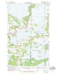
1968 · Clementson SW
USGS Topo · 1:24,000
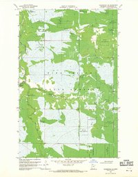
1968 · Clementson SE
USGS Topo · 1:24,000
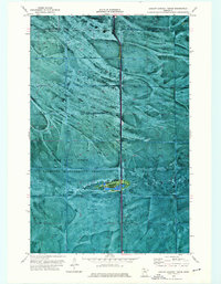
1973 · Ludlow Lookout Tower
USGS Topo · 1:24,000
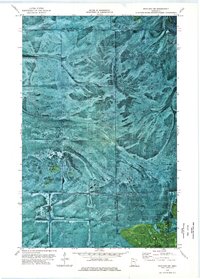
1973 · Wayland SW
USGS Topo · 1:24,000