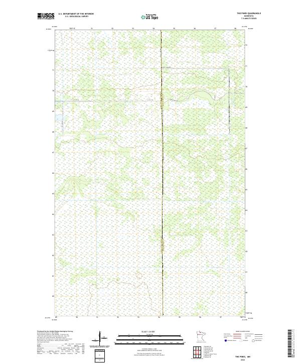
2022 Map of The Pines
USGS Topo · Published 2022About this map
The jurisdictional border between Lake of the Woods Co and Koochiching Co bisects this northern Minnesota landscape, where the terrain is dominated by extensive wetland systems and low-lying topography. The few transit corridors that penetrate this area, such as Indian Pines Rd and 71st St SE, highlight the isolation of the region near the Canadian border. These local routes, along with 25th Ave SE, provide limited access through a landscape of saturated soils and drainages that have historically dictated the patterns of human footprint in the far north. This 2022 survey captures the modern administrative boundaries and sparse transportation network of this quiet pocket of the state.
Find a feature on this map
10 named features on this map. Tap any name to fly to it.
Don’t see what you’re looking for? This feature index may not catch every label — zoom into the map to look around manually.
Map Details
Editions of this 2022 The Pines Map
This is the sole edition of this map. No revisions or reprints were ever made.
Other maps of this area

1919 · Knutson
USGS Topo · 1:62,500

1921 · Baudette
USGS Topo · 1:62,500

1954 · Roseau
USGS Topo · 1:250,000

1957 · Roseau
USGS Topo · 1:250,000

1958 · Roseau
USGS Topo · 1:250,000

1968 · Baudette SE
USGS Topo · 1:24,000

1968 · Clementson SW
USGS Topo · 1:24,000

1968 · Clementson SE
USGS Topo · 1:24,000
1973 · Ludlow Lookout Tower
USGS Topo · 1:24,000
1973 · Wayland SW
USGS Topo · 1:24,000