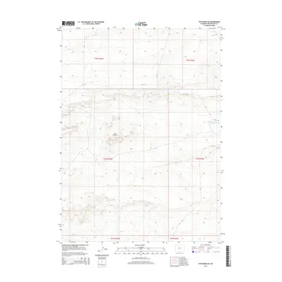
2015 Map of The Pinnacles
USGS Topo · Published 2015About this map
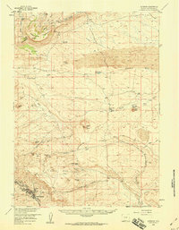
The Pinnacles stand as a central geographic landmark within this Sweetwater County landscape, characterized by the intricate drainage patterns of the high desert. This 2015 survey, published by the U.S. Geological Survey, illustrates a territory primarily defined by its hydrology and remote road network. In the northeast, the Bush Cr drainage flows across the terrain, while the Rambaud Number 1 Reservoir provides a critical water point in an otherwise arid expanse. The map details the intersection of local infrastructure and public land management, noting routes such as Bar X Rd, Cr-74, and Cr-15. These roads navigate the township and range divisions, serving the occasional ranching interests or resource management needs of the region, while the topography remains largely open and undeveloped.
Find a feature on this map
12 named features on this map. Tap any name to fly to it.
Don’t see what you’re looking for? This feature index may not catch every label — zoom into the map to look around manually.
Map Details
Editions of this 2015 The Pinnacles Map
This is the sole edition of this map. No revisions or reprints were ever made.
Other maps of this area

1954 · Rock Springs
USGS Topo · 1:250,000

1955 · Lander
USGS Topo · 1:250,000

1958 · Lander
USGS Topo · 1:250,000

1958 · Rock Springs
USGS Topo · 1:250,000
1958 · Twelvemile Well
USGS Topo · 1:62,500
1958 · Freighter Gap
USGS Topo · 1:62,500
1958 · The Pinnacles
USGS Topo · 1:62,500
1958 · Superior
USGS Topo · 1:62,500

1961 · Lander
USGS Topo · 1:250,000

1962 · Rock Springs
USGS Topo · 1:250,000