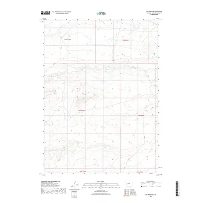
2017 Map of The Pinnacles
USGS Topo · Published 2017About this map
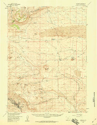
The Pinnacles serves as the central landmark for this high-desert landscape in Sweetwater County. The map details an arid environment defined by intermittent drainage and a sparse network of ranching and county roads. Water is a critical but limited element here, represented by the winding course of Bush Cr in the northern reaches of the quadrangle. The land is organized by the Public Land Survey System, with township and range lines like t24n r100w and t25n r99w providing the primary structure for navigation and land ownership. Grounded in 2017 data, this map captures the remote character of the Wyoming basin, where access is provided by unpaved routes such as Bar X Rd, Co Rd 74, and Co Rd 15.
Find a feature on this map
11 named features on this map. Tap any name to fly to it.
Don’t see what you’re looking for? This feature index may not catch every label — zoom into the map to look around manually.
Map Details
Editions of this 2017 The Pinnacles Map
This is the sole edition of this map. No revisions or reprints were ever made.
Other maps of this area

1954 · Rock Springs
USGS Topo · 1:250,000

1955 · Lander
USGS Topo · 1:250,000

1958 · Lander
USGS Topo · 1:250,000

1958 · Rock Springs
USGS Topo · 1:250,000
1958 · Twelvemile Well
USGS Topo · 1:62,500
1958 · Freighter Gap
USGS Topo · 1:62,500
1958 · The Pinnacles
USGS Topo · 1:62,500
1958 · Superior
USGS Topo · 1:62,500

1961 · Lander
USGS Topo · 1:250,000

1962 · Rock Springs
USGS Topo · 1:250,000