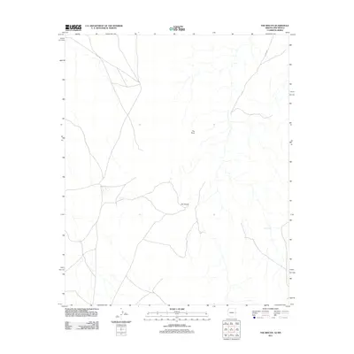
2011 Map of The Rincon
USGS Topo · Published 2011About this map
The Rincon defines the central landscape of this high-desert quadrangle in Apache County during the early 21st century. The terrain is marked by the prominence of The Point, overlooking a network of ephemeral drainages and unpaved travel routes that characterize this portion of the Arizona-New Mexico border region. Human infrastructure is sparse, represented primarily by water management features like Big Pit Tank and the local transit corridor of Co RD a001. The map reveals a specialized land-use pattern where water security is paramount for ranching or land management in an arid environment, showing how modern topographical surveys continue to track the essential resources and landmarks of the American Southwest.
Find a feature on this map
4 named features on this map. Tap any name to fly to it.
Don’t see what you’re looking for? This feature index may not catch every label — zoom into the map to look around manually.
Map Details
Editions of this 2011 The Rincon Map
2 editions found

Other maps of this area
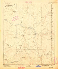
1886 · St Johns
USGS Topo · 1:250,000
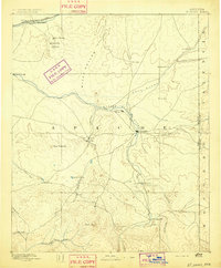
1892 · St Johns
USGS Topo · 1:250,000

1954 · Saint Johns
USGS Topo · 1:250,000

1957 · Saint Johns
USGS Topo · 1:250,000

1958 · Saint Johns
USGS Topo · 1:250,000

1962 · Saint Johns
USGS Topo · 1:250,000
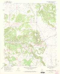
1968 · Nelson Reservoir NE
USGS Topo · 1:24,000
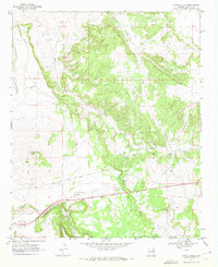
1969 · Coyote Hills
USGS Topo · 1:24,000
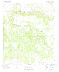
1971 · Mesa Parada NW
USGS Topo · 1:24,000
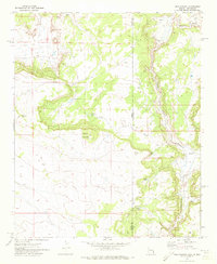
1971 · Mesa Parada
USGS Topo · 1:24,000