
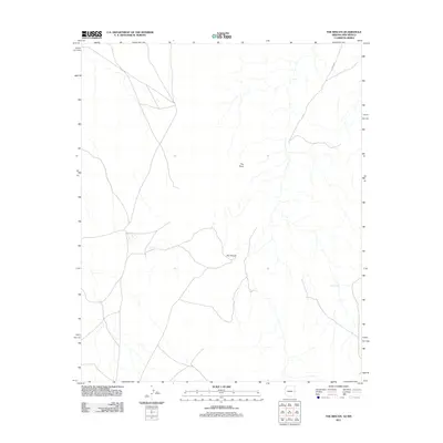
2011 Map of The Rincon
USGS Topo · Published 2011About this map
Cottonwood Canyon carves a path through this high desert terrain in Apache County, defining a landscape shaped by drainage and sparse water resources. The topography is marked by distinctive landforms such as The Rincon and The Point, which serve as primary navigation markers in an otherwise open expanse. Evidence of ranching and land management is central to the area's layout, indicated by widely spaced water sources including Callero Well, Middle Well, and the Big Pit Tank located to the southeast. These features reflect the practicalities of livestock management in a territory where permanent surface water is rare. Infrastructure is minimal, anchored primarily by the route of County Rd A001, which provides the main corridor of travel through this remote portion of northeastern Arizona.
Find a feature on this map
7 named features on this map. Tap any name to fly to it.
Don’t see what you’re looking for? This feature index may not catch every label — zoom into the map to look around manually.
Map Details
Editions of this 2011 The Rincon Map
2 editions found
Other maps of this area
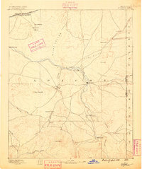
1886 · St Johns
USGS Topo · 1:250,000
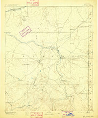
1892 · St Johns
USGS Topo · 1:250,000

1954 · Saint Johns
USGS Topo · 1:250,000

1957 · Saint Johns
USGS Topo · 1:250,000

1958 · Saint Johns
USGS Topo · 1:250,000

1962 · Saint Johns
USGS Topo · 1:250,000
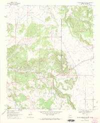
1968 · Nelson Reservoir NE
USGS Topo · 1:24,000
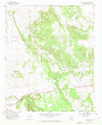
1969 · Coyote Hills
USGS Topo · 1:24,000
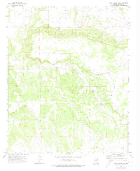
1971 · Mesa Parada NW
USGS Topo · 1:24,000
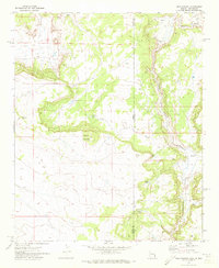
1971 · Mesa Parada
USGS Topo · 1:24,000