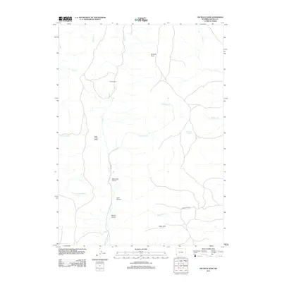
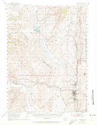
2012 Map of The Rock Slide
USGS Topo · Published 2012About this map
Emigrant Spring serves as a notable landmark in this corner of Lincoln County, where the high-altitude landscape is defined by the significant topographic disturbance of The Rock Slide. The terrain is characterized by a series of prominent ridges and deep drainages, including Dempsey Ridge and Rock Creek Ridge. A network of canyons, such as Watercress Canyon, Cook Canyon, and Morgan Canyon, carve through the western slopes, feeding into the primary waterway of Rock Cr. Transportation across this remote area is limited to a few established routes like Chicken Creek Rd and Cord-209, which navigate the elevation changes near Rubey Point. The abundance of named springs and seasonal creeks like Little Beaver Cr and Wyman Cr illustrates the crucial role of water sources in this arid Wyoming high country.
Find a feature on this map
18 named features on this map. Tap any name to fly to it.
Don’t see what you’re looking for? This feature index may not catch every label — zoom into the map to look around manually.
Map Details
Editions of this 2012 The Rock Slide Map
This is the sole edition of this map. No revisions or reprints were ever made.
Other maps of this area
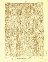
1936 · Cokeville
USGS Topo · 1:96,000
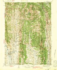
1942 · Cokeville
USGS Topo · 1:125,000
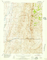
1954 · Sage
USGS Topo · 1:62,500

1954 · Ogden
USGS Topo · 1:250,000
1954 · Kemmerer
USGS Topo · 1:62,500

1955 · Preston
USGS Topo · 1:250,000

1958 · Ogden
USGS Topo · 1:250,000

1958 · Preston
USGS Topo · 1:250,000

1960 · Ogden
USGS Topo · 1:250,000

1962 · Preston
USGS Topo · 1:250,000