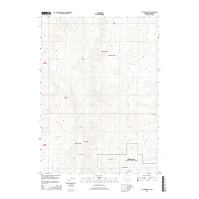
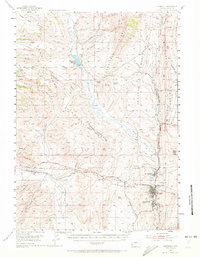
2015 Map of The Rock Slide
USGS Topo · Published 2015About this map
Fossil Butte National Monument anchors the southern portion of this landscape in Lincoln County, where the high desert terrain transitions into the prominent Tunp Range. This area is defined by a series of steep drainages and ridges, including the massive geological feature known as The Rock Slide and the long spine of Dempsey Ridge. The naming conventions found throughout the map, such as Emigrant Spring, reflect the historical significance of this corridor for western travel and sheep herding. A network of primitive routes like Chicken Creek Rd and Cr 209 provides access through deep-cut topography like Watercress Canyon and Morgan Canyon, while higher elevations lead to Schuster Basin. The numerous watercourses, including Rock Cr and Little Beaver Cr, illustrate the complex drainage patterns required to navigate this portion of the Wyoming range.
Find a feature on this map
26 named features on this map. Tap any name to fly to it.
Don’t see what you’re looking for? This feature index may not catch every label — zoom into the map to look around manually.
Map Details
Editions of this 2015 The Rock Slide Map
This is the sole edition of this map. No revisions or reprints were ever made.
Other maps of this area
1936 · Cokeville
USGS Topo · 1:96,000
1942 · Cokeville
USGS Topo · 1:125,000
1954 · Sage
USGS Topo · 1:62,500

1954 · Ogden
USGS Topo · 1:250,000
1954 · Kemmerer
USGS Topo · 1:62,500

1955 · Preston
USGS Topo · 1:250,000

1958 · Ogden
USGS Topo · 1:250,000

1958 · Preston
USGS Topo · 1:250,000

1960 · Ogden
USGS Topo · 1:250,000

1962 · Preston
USGS Topo · 1:250,000