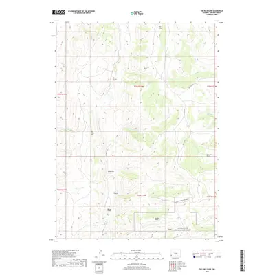
2017 Map of The Rock Slide
USGS Topo · Published 2017About this map
Fossil Butte National Monument occupies the southeastern corner of this Lincoln County survey, preserving a landscape defined by significant geological formations. The terrain is characterized by high ridges and complex drainage systems, notably Dempsey Ridge and Rock Creek Ridge, which divide the numerous canyons cutting through the plateau. Water sources like Emigrant Spring and named drainages such as Rock Creek and Little Beaver Creek have historically provided vital resources in this arid environment. The map shows the land management patterns typical of the Wyoming high country, with cattle-related names and mountain ranges like the Tunp Range dominating the northern edge. Local infrastructure is represented by routes such as the Cundick Ridge Road Scenic Drive and Farm Field Road, which follow the natural contours of the land to connect the various basins and points of interest like Rubey Point.
Find a feature on this map
31 named features on this map. Tap any name to fly to it.
Don’t see what you’re looking for? This feature index may not catch every label — zoom into the map to look around manually.
Map Details
Editions of this 2017 The Rock Slide Map
This is the sole edition of this map. No revisions or reprints were ever made.
Other maps of this area
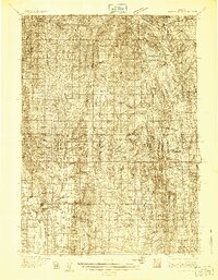
1936 · Cokeville
USGS Topo · 1:96,000
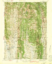
1942 · Cokeville
USGS Topo · 1:125,000
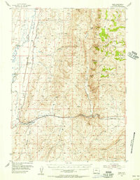
1954 · Sage
USGS Topo · 1:62,500

1954 · Ogden
USGS Topo · 1:250,000
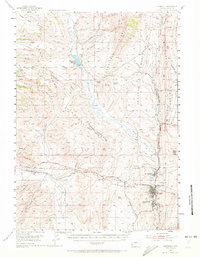
1954 · Kemmerer
USGS Topo · 1:62,500

1955 · Preston
USGS Topo · 1:250,000

1958 · Ogden
USGS Topo · 1:250,000

1958 · Preston
USGS Topo · 1:250,000

1960 · Ogden
USGS Topo · 1:250,000

1962 · Preston
USGS Topo · 1:250,000