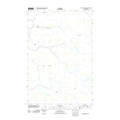
2011 Map of The Sawteeth
USGS Topo · Published 2011About this map
The Sawteeth rise as the prominent physical landmark in this portion of Cascade County, defining a landscape shaped by the drainage networks of the Missouri River watershed. The terrain is characterized by high ridges and open flats, including Whitetail Prairie and Browns Flat, which suggest a traditional grazing or hunting environment. Several uniquely named geological features, such as The Devils Kitchen, The Twin Sisters, and The Painted Rock, indicate a long history of local identification and nomenclature for the area's distinct rock formations.
Find a feature on this map
20 named features on this map. Tap any name to fly to it.
Don’t see what you’re looking for? This feature index may not catch every label — zoom into the map to look around manually.
Map Details
Editions of this 2011 The Sawteeth Map
This is the sole edition of this map. No revisions or reprints were ever made.
Other maps of this area

1886 · Great Falls
USGS Topo · 1:250,000

1886 · Fort Logan
USGS Topo · 1:250,000

1948 · White Sulphur Springs
USGS Topo · 1:250,000

1954 · Great Falls
USGS Topo · 1:250,000

1957 · Great Falls
USGS Topo · 1:250,000

1958 · White Sulphur Springs
USGS Topo · 1:250,000

1961 · White Sulphur Springs
USGS Topo · 1:250,000

1961 · Craig
USGS Topo · 1:24,000

1961 · Hardy
USGS Topo · 1:24,000

1961 · Hound Creek Reservoir
USGS Topo · 1:24,000