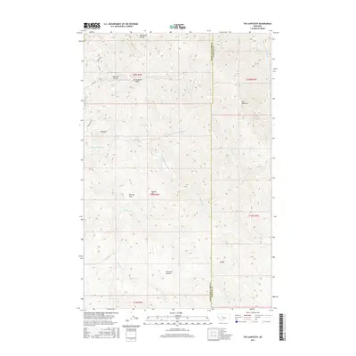
2017 Map of The Sawteeth
USGS Topo · Published 2017About this map
The Sawteeth ridge and the sharp peaks of The Twin Sisters dominate this landscape along the border of Lewis and Clark and Cascade counties. The terrain is defined by a dense network of high-elevation drainages, including N Fork Stickney Cr and S Fork Sheep Cr, which carve through a series of named summits and plateaus. Notable landforms such as The Devils Kitchen and The Painted Rock suggest a geography rich in local lore and distinct geological features, while lower elevations like Browns Flat and Whitetail Prairie offer breaks in the vertical relief. Isolated mountain roads including Beaver Slide Loop and Castle Rock Dr navigate the complex topography, providing access to remote points like Mt Rowe and Baldy. This modern survey records the enduring physical character of the Montana front range, where the Public Land Survey System grids continue to overlay ancient drainage patterns.
Find a feature on this map
27 named features on this map. Tap any name to fly to it.
Don’t see what you’re looking for? This feature index may not catch every label — zoom into the map to look around manually.
Map Details
Editions of this 2017 The Sawteeth Map
This is the sole edition of this map. No revisions or reprints were ever made.
Other maps of this area
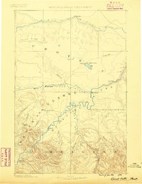
1886 · Great Falls
USGS Topo · 1:250,000
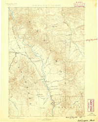
1886 · Fort Logan
USGS Topo · 1:250,000
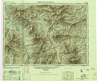
1948 · White Sulphur Springs
USGS Topo · 1:250,000

1954 · Great Falls
USGS Topo · 1:250,000
1957 · Great Falls
USGS Topo · 1:250,000
1958 · White Sulphur Springs
USGS Topo · 1:250,000
1961 · White Sulphur Springs
USGS Topo · 1:250,000
1961 · Craig
USGS Topo · 1:24,000
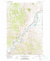
1961 · Hardy
USGS Topo · 1:24,000
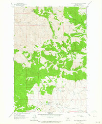
1961 · Hound Creek Reservoir
USGS Topo · 1:24,000