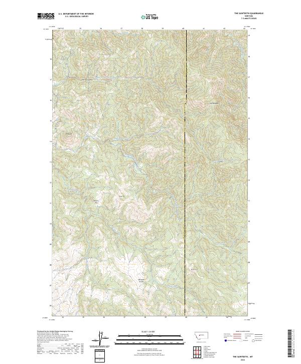
2024 Map of The Sawteeth
USGS Topo · Published 2024About this map
The Sawteeth rise as a prominent landmark along the eastern edge of this Lewis and Clark County landscape, where the high mountain terrain transitions into open flats and drainages. The area is defined by its complex network of seasonal and perennial waterways, including the North Fork Stickney Creek, South Fork Stickney Creek, and Little Stickney Creek, which have carved deep valleys between high points like Mt Rowe and Timber Hill. Significant open areas such as Whitetail Prairie and Browns Flat suggest historical grazing or hunting grounds amidst the timbered slopes.
Find a feature on this map
25 named features on this map. Tap any name to fly to it.
Don’t see what you’re looking for? This feature index may not catch every label — zoom into the map to look around manually.
Map Details
Editions of this 2024 The Sawteeth Map
This is the sole edition of this map. No revisions or reprints were ever made.
Other maps of this area

1886 · Great Falls
USGS Topo · 1:250,000

1886 · Fort Logan
USGS Topo · 1:250,000

1948 · White Sulphur Springs
USGS Topo · 1:250,000

1954 · Great Falls
USGS Topo · 1:250,000

1957 · Great Falls
USGS Topo · 1:250,000

1958 · White Sulphur Springs
USGS Topo · 1:250,000

1961 · White Sulphur Springs
USGS Topo · 1:250,000

1961 · Craig
USGS Topo · 1:24,000

1961 · Hardy
USGS Topo · 1:24,000

1961 · Hound Creek Reservoir
USGS Topo · 1:24,000