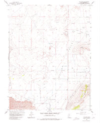
1962 Map of The Sink
USGS Topo · Published 1980About this map
Pavant Valley serves as a basin of significant water management in this arid Millard County landscape, defined by a concentration of flowing wells and the southern drainage of Pioneer Wash. This 1960s-era topography reveals how early settlers and ranchers adapted to the desert, directing water through an unnamed Canal and utilizing the seasonal flow of Chalk Creek. The terrain transitions from the low-lying basin known as The Sink toward the prominent elevations of Bald Mountain and West Mountain to the southeast. At the southern edge, the distinctive volcanic character of the region emerges at The Cinders, while primitive access is maintained through the Central Utah Jeep Trail and other rugged routes like those leading through Devils Kitchen. Local industry is evidenced by scattered gravel pits, marking the intersection of geological resources and basic infrastructure.
Find a feature on this map
15 named features on this map. Tap any name to fly to it.
Don’t see what you’re looking for? This feature index may not catch every label — zoom into the map to look around manually.
Map Details
Editions of this 1962 The Sink Map
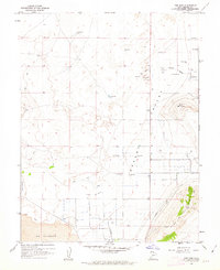
2 editions found
Other maps of this area

1885 · Beaver
USGS Topo · 1:250,000

1885 · Sevier Desert
USGS Topo · 1:250,000

1953 · Richfield
USGS Topo · 1:250,000

1953 · Delta
USGS Topo · 1:250,000

1958 · Richfield
USGS Topo · 1:250,000

1958 · Delta
USGS Topo · 1:250,000

1960 · Meadow
USGS Topo · 1:24,000

1961 · Fillmore
USGS Topo · 1:24,000

1962 · Delta
USGS Topo · 1:250,000

1962 · Fillmore
USGS Topo · 1:62,500