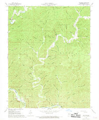
1968 Map of The Sinks
USGS Topo · Published 1969About this map
Sinking Creek winds through this section of Shannon County, Missouri, carving a landscape defined by deep hollows and prominent bluff lines. At the heart of the terrain lies The Sinks, where a campground and cave mark a site where the creek's waters historically submerged. The map reveals a remote rural economy centered on the water, evidenced by the Mauser Mill situated along Big Creek. This survey captures the region just as the Ozark National Scenic Riverways and Clark National Forest were solidifying the area's transition into a protected recreational landscape.
Find a feature on this map
70 named features on this map. Tap any name to fly to it.
Don’t see what you’re looking for? This feature index may not catch every label — zoom into the map to look around manually.
Map Details
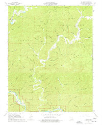
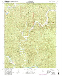
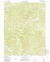
Editions of this 1968 The Sinks Map
4 editions found
Other maps of this area

1915 · Eminence
USGS Topo · 1:62,500

1917 · Eminence
USGS Topo · 1:62,500

1928 · Cardareva
USGS Topo · 1:62,500

1944 · Corridon
USGS Topo · 1:62,500

1945 · Round Spring
USGS Topo · 1:62,500

1947 · Sinkin
USGS Topo · 1:48,000

1947 · Corridon
USGS Topo · 1:62,500

1949 · Round Spring
USGS Topo · 1:62,500

1949 · Rolla
USGS Topo · 1:250,000

1949 · Cardareva
USGS Topo · 1:62,500