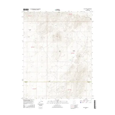
2017 Map of The Tetons
USGS Topo · Published 2017About this map
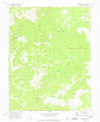
The Tetons rise as the central topographical landmark in this high-desert landscape, situated along the border of Beaver and Iron Counties. This modern survey illustrates a rugged terrain dominated by the southern reaches of the Wah Wah Mountains, where elevation changes define the local hydrology. Water sources are scarce and localized, found at points like Jockey Spring and The Seeps, which likely served as vital landmarks for early travelers and cattlemen.
Find a feature on this map
18 named features on this map. Tap any name to fly to it.
Don’t see what you’re looking for? This feature index may not catch every label — zoom into the map to look around manually.
Map Details
Editions of this 2017 The Tetons Map
This is the sole edition of this map. No revisions or reprints were ever made.
Other maps of this area

1953 · Richfield
USGS Topo · 1:250,000

1958 · Richfield
USGS Topo · 1:250,000
1959 · Frisco
USGS Topo · 1:62,500
1971 · Observation Knoll
USGS Topo · 1:24,000
1971 · Pine Grove Reservoir
USGS Topo · 1:24,000
1971 · Lund
USGS Topo · 1:24,000
1971 · Bible Spring
USGS Topo · 1:24,000
1971 · Blue Mountain
USGS Topo · 1:24,000
1971 · The Tetons
USGS Topo · 1:24,000
1971 · Lamerdorf Peak
USGS Topo · 1:24,000