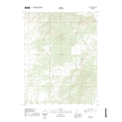
2023 Map of The Tetons
USGS Topo · Published 2023About this map
The Wah Wah Mountains dominate this high-desert landscape in southwestern Utah, where elevation and drainage patterns dictate the geography. The map captures a rugged topography marked by prominent peaks like Blawn Mtn and the namesake The Tetons. Water sources are sparse but critical for the region, noted by labels for Jockey Spring and The Seeps. These rare water points, along with the route of Jockey Rd, indicate the historical transit paths used by ranchers and early travelers through the arid basin.
Find a feature on this map
12 named features on this map. Tap any name to fly to it.
Don’t see what you’re looking for? This feature index may not catch every label — zoom into the map to look around manually.
Map Details
Editions of this 2023 The Tetons Map
This is the sole edition of this map. No revisions or reprints were ever made.
Other maps of this area

1953 · Richfield
USGS Topo · 1:250,000

1958 · Richfield
USGS Topo · 1:250,000

1959 · Frisco
USGS Topo · 1:62,500

1971 · Observation Knoll
USGS Topo · 1:24,000

1971 · Pine Grove Reservoir
USGS Topo · 1:24,000
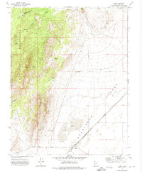
1971 · Lund
USGS Topo · 1:24,000

1971 · Bible Spring
USGS Topo · 1:24,000
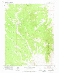
1971 · Blue Mountain
USGS Topo · 1:24,000
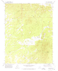
1971 · The Tetons
USGS Topo · 1:24,000

1971 · Lamerdorf Peak
USGS Topo · 1:24,000