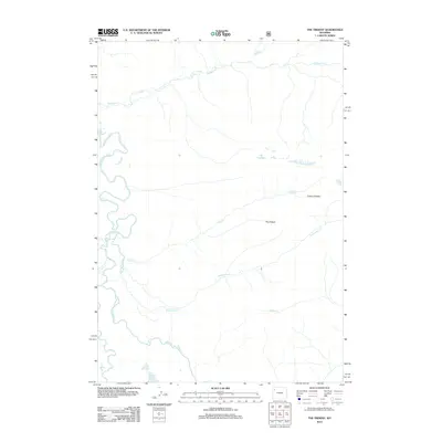
2012 Map of The Trident
USGS Topo · Published 2012About this map
The Yellowstone River snakes through the western edge of this Wyoming landscape, defining a corridor of riparian activity where the water slows and bends. To the east, the prominent terrain of The Trident and the Trident Plateau dominates the geography, creating a high-elevation divide between numerous drainage systems. These waterways, including Cliff Cr, Escarpment Cr, and Coyote Cr, carve deep into the plateau, illustrating the complex hydrology of this high-country region in the early 21st century.
Find a feature on this map
11 named features on this map. Tap any name to fly to it.
Don’t see what you’re looking for? This feature index may not catch every label — zoom into the map to look around manually.
Map Details
Editions of this 2012 The Trident Map
This is the sole edition of this map. No revisions or reprints were ever made.
Other maps of this area
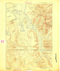
1885 · Lake
USGS Topo · 1:125,000
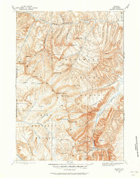
1893 · Ishawooa
USGS Topo · 1:125,000
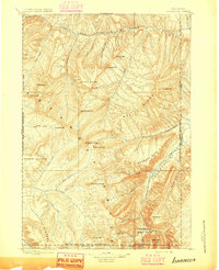
1895 · Ishawooa
USGS Topo · 1:125,000
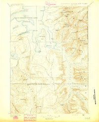
1895 · Lake
USGS Topo · 1:125,000
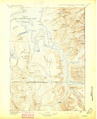
1896 · Lake
USGS Topo · 1:125,000
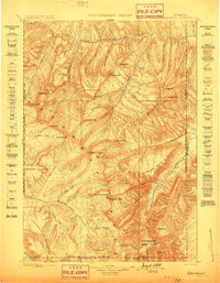
1899 · Ishawooa
USGS Topo · 1:125,000
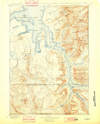
1901 · Lake
USGS Topo · 1:125,000
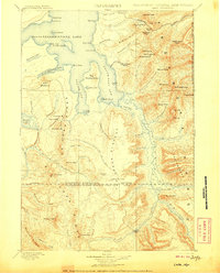
1906 · Lake
USGS Topo · 1:125,000
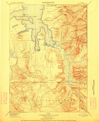
1911 · Lake
USGS Topo · 1:125,000

1955 · Ashton
USGS Topo · 1:250,000