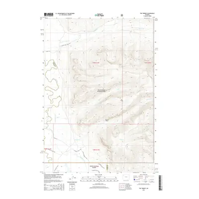
2015 Map of The Trident
USGS Topo · Published 2015About this map
Yellowstone National Park and the Teton National Forest meet at a rugged confluence of high-elevation waterways and backcountry routes. The landscape is defined by the massive basaltic columns of The Trident, a prominent landmark within the Absaroka Range. This remote area, mapped in 2015, serves as a vital corridor for the Yellowstone River and Thorofare Creek, which meander through deep glacial valleys. An extensive network of wilderness paths, including the Thorofare River Trail, Mountain Creek Triangle Trail, and Yellowstone Trails, illustrates the continued reliance on pack-trail infrastructure for managing these protected lands. Near the southern edge, Bridger Lake sits as a significant water feature just outside the park boundary, while established backcountry sites like Campsite 6D1 and Campsite 6Y4 mark the intersection of traditional exploration and modern wilderness management.
Find a feature on this map
27 named features on this map. Tap any name to fly to it.
Don’t see what you’re looking for? This feature index may not catch every label — zoom into the map to look around manually.
Map Details
Editions of this 2015 The Trident Map
This is the sole edition of this map. No revisions or reprints were ever made.
Other maps of this area
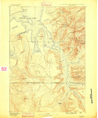
1885 · Lake
USGS Topo · 1:125,000
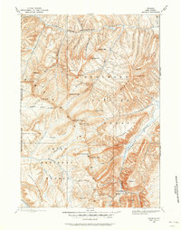
1893 · Ishawooa
USGS Topo · 1:125,000
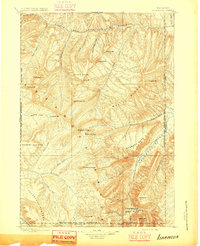
1895 · Ishawooa
USGS Topo · 1:125,000
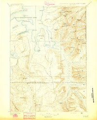
1895 · Lake
USGS Topo · 1:125,000
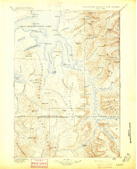
1896 · Lake
USGS Topo · 1:125,000
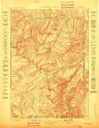
1899 · Ishawooa
USGS Topo · 1:125,000
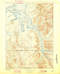
1901 · Lake
USGS Topo · 1:125,000
1906 · Lake
USGS Topo · 1:125,000
1911 · Lake
USGS Topo · 1:125,000

1955 · Ashton
USGS Topo · 1:250,000