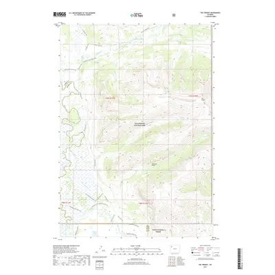
2017 Map of The Trident
USGS Topo · Published 2017About this map
The Trident dominates the high-elevation landscape of this 2017 survey, where the Yellowstone Plateau meets the Absaroka Range along the boundary of Yellowstone National Park and Teton National Forest. This remote wilderness at the headwaters of the Yellowstone River is defined by a dense network of backcountry routes rather than roads. The Thorofare Trail and Thorofare River Trail trace the valley floor, providing access to landmarks like Bridger Lake and the Thorofare Cabin Trail. The drainage patterns here are intricate, with Mountain Creek, Escarpment Creek, and Howell Creek carving through steep topographic contours. These trails follow historical corridors used for park management and wilderness travel, connecting isolated points such as Hawk's Lake Trail and the Mountain Creek Triangle Trail through some of the most secluded terrain in the American West.
Find a feature on this map
31 named features on this map. Tap any name to fly to it.
Don’t see what you’re looking for? This feature index may not catch every label — zoom into the map to look around manually.
Map Details
Editions of this 2017 The Trident Map
This is the sole edition of this map. No revisions or reprints were ever made.
Other maps of this area
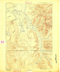
1885 · Lake
USGS Topo · 1:125,000
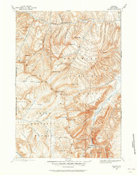
1893 · Ishawooa
USGS Topo · 1:125,000
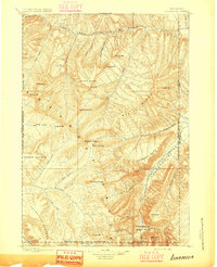
1895 · Ishawooa
USGS Topo · 1:125,000
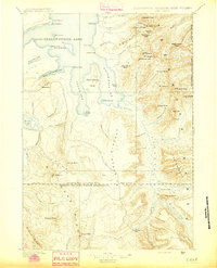
1895 · Lake
USGS Topo · 1:125,000
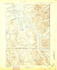
1896 · Lake
USGS Topo · 1:125,000
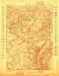
1899 · Ishawooa
USGS Topo · 1:125,000
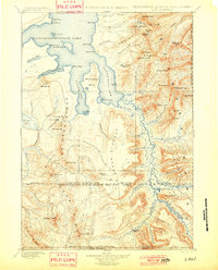
1901 · Lake
USGS Topo · 1:125,000
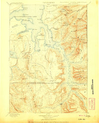
1906 · Lake
USGS Topo · 1:125,000
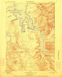
1911 · Lake
USGS Topo · 1:125,000

1955 · Ashton
USGS Topo · 1:250,000